Data visualizer, cartographer, and remote sensing expert.
I am a cartographer and science communicator who specializes in visualizing satellite imagery. I have decades of experience working with remote sensing experts & entrepreneurs, helping share their research and products with the public. Along the way I’ve designed some of the most widely viewed imagery of our home planet.
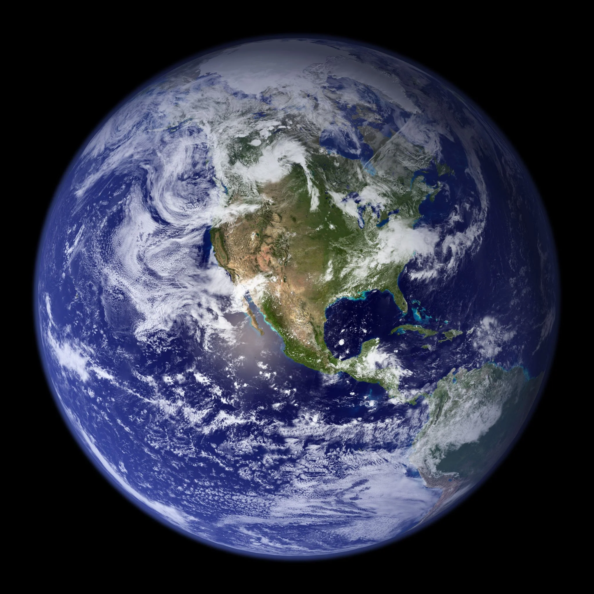
My work has appeared in newspapers, magazines, and web sites; including the front page of the New York Times and the cover of National Geographic. I’m also known for creating the first global view of the Earth at Night, and crafting the Blue Marble featured on the original Apple iPhone.
I have experience in both the commercial space sector and public agencies. At Planet I helped develop and market novel products derived from their constellations of smallsats. At NASA I created state of the art visualizations and co-created the Earth Observatory, a website dedicated to communicating Earth and remote sensing science to the general public.
In addition to making figures and maps, I’ve written extensively on data visualization techniques and tools. I’ve presented to scientists, designers, students, and journalists; and held workshops on working with data and visual communication.
Get in touch: robertbsimmon@gmail.com
